
Gloucester ZIP Code Delivery Areas
Gloucester has two postal conventions documented in local and federal sources. The ordinary street-delivery ZIP is 01930. City mail instructions also use 01931 for P.O. Box 61, including the City Collector’s municipal-lien-certificate route. That makes the distinction useful, but narrow: one ZIP identifies a delivery arrangement, not a neighborhood, parcel, or proof that a person is at an address. USPS, not a copied list, is the authority for an individual delivery address.
| ZIP | Areas Covered | Post Office | Notes |
|---|---|---|---|
| 01930 | Gloucester street-delivery addresses, including local labels such as Downtown, Annisquam, Bayview, Lanesville, Magnolia, Rocky Neck, and West Gloucester when USPS returns this ZIP | Gloucester-area street delivery | Static official sources do not establish a complete neighborhood boundary or station assignment. |
| 01931 | Documented City of Gloucester P.O. Box convention, including P.O. Box 61 | P.O. Box service | Not a geographic residential boundary; verify the specific mailing use with USPS. |
USPS’s city-and-state result should be run again before relying on it because the static research did not capture a complete current result list, ZIP+4 ranges, a historical realignment, or a full postal-boundary polygon. Keep the postal result beside the source date. It is a delivery fact, not a conclusion about municipal geography or a person’s present location.
Gloucester ZIP Code Directory Verification
The USPS ZIP Code Lookup provides the direct test for a specific Gloucester address. Enter the house number, street, city, and state, then add an apartment or suite when a result needs narrowing. The service can also return the ZIP codes associated with a city and state, or the recognized city names for a five-digit ZIP. Its own notice is important: a returned ZIP does not confirm that a person or organization is at the address.
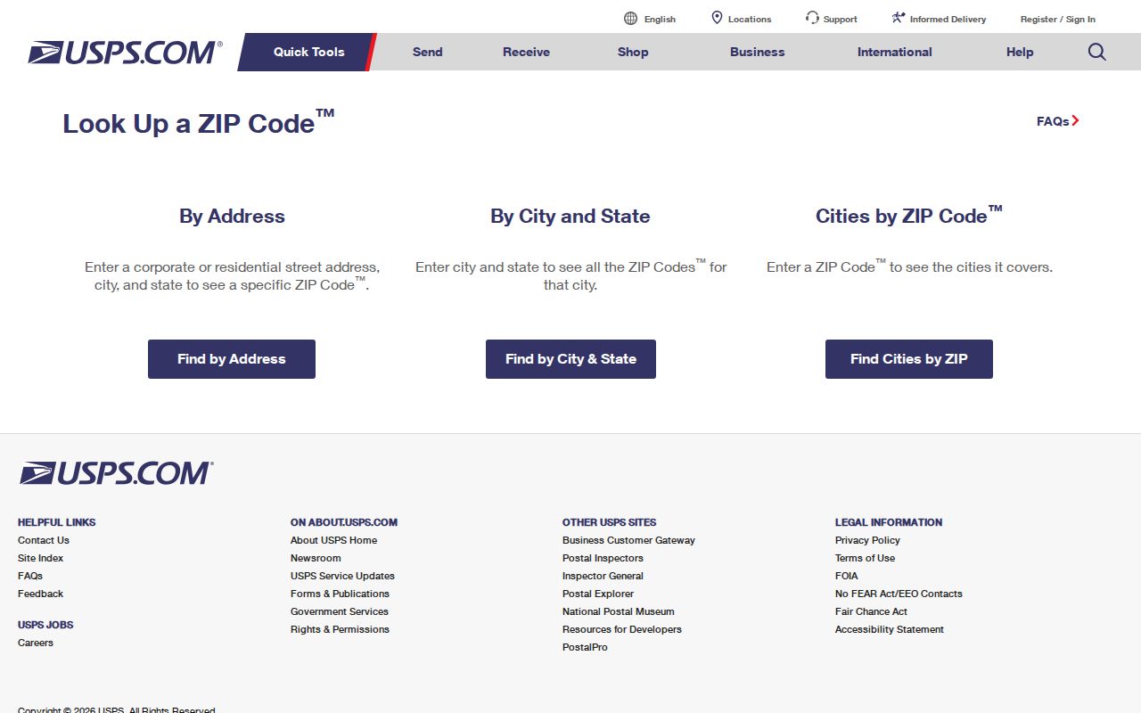
The screenshot shows the postal lookup source used for this Gloucester ZIP code directory. Use its address result as a postal checkpoint before comparing a parcel card, a historical directory entry, or a City Clerk record, since each source can preserve a different address format.
For an old document, write down the address exactly as printed before standardizing it. Older directories can omit a ZIP, a city form may use a P.O. Box, and a parcel deed may use a legal description instead of a street number. The original wording is evidence; the new postal result is a separate, dated research field.
USPS Fields for Gloucester ZIP Codes
USPS publishes enough field detail to make a repeatable ZIP check. The address mode finds one delivery result. The city-and-state mode checks the postal labels associated with Gloucester, and the reverse mode checks recognized city names for a five-digit code. The live page can change its controls or add anti-automation checks, so use the current screen rather than assuming every result field will always appear.
| USPS mode | Field | Format or result |
|---|---|---|
| ZIP Code by Address | Street Address | Required delivery address; add Apt/Suite/Other when it separates matches. |
| ZIP Code by Address | City and State | Use Gloucester and Massachusetts in the city/state route. |
| ZIP Code by Address | ZIP Code | Optional narrowing field when a ZIP is already known. |
| ZIP Code by City and State | City and State | Returns ZIP codes USPS associates with that input. |
| Cities by ZIP Code | ZIP Code | Returns recommended or recognized city names for the five-digit ZIP. |
Note: A postal result validates a delivery label, not the presence of any person or organization at that address.
Finding Residents Within One Gloucester ZIP Code
A ZIP narrows a research question, but the available Gloucester tools do not create a public list of everyone in that area. Vision can search an address, owner name, map or parcel, although a complete ZIP-wide filter was not confirmed in the static research. MapGeo is parcel and layer based, not a verified postal-boundary map. The Massachusetts voter-status search requires a five-digit residential ZIP for one individual; it does not return all people in a ZIP.
- Verify the delivery address or city-and-state result in USPS and save the date checked.
- Use the address in Gloucester Vision to identify the parcel or assessment record, treating the owner or taxpayer label as a property role.
- Open Gloucester MapGeo to place that parcel among streets and municipal layers.
- For a dated local election record, ask the City Clerk or Board of Registrars for the relevant ward, precinct, list date, and permitted format rather than treating the individual state lookup as a bulk ZIP search.
- For an older address, compare directories, deeds, maps, or a public-record request with the original postal wording preserved.
Once the ZIP has narrowed the area, the Gloucester street directory provides the appropriate address-by-address record trail. That extra step matters because a ZIP result cannot resolve a particular parcel, unit, or historical street label.
Vision’s documented paths are address or street, owner or name, map or parcel, and parcel or account identifier. Use a ZIP only as supporting address context, then open the resulting card and record its assessment date. If the needed historic municipal record is not online, Gloucester recommends NextRequest and also accepts written, email, and oral public-record requests under its published process. Describe the record type, date range, address wording, and desired format rather than asking for a general ZIP list.
Gloucester ZIP Code Election Geography
Postal and election geography answer different questions. A ward or precinct identifies an election unit, while a ZIP supports mail delivery. Gloucester’s City Clerk and Board of Registrars are the local contacts for a dated ward or precinct list. Massachusetts law describes local lists by ward, precinct, street, and house number in the applicable circumstances, but the statewide central registry is not an unrestricted public file. Save the list date and map version because an election boundary can change.
The Gloucester ward and precinct map is useful for interpreting an election request after the postal address has been verified. It should not be redrawn as a ZIP map, and a ward match does not turn an address into a current-residence finding.
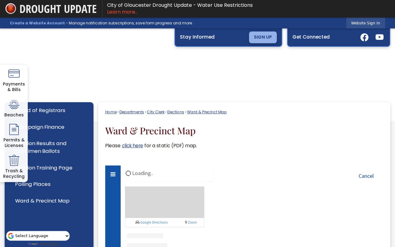
This Gloucester ZIP code directory image shows why a ZIP, ward, precinct, neighborhood, and parcel need separate labels. Use the correct system for the question, then keep the result with its source and date.
Gloucester ZIP Code Directory Record Trail
Postal verification is only the first layer. The assessor portal connects a street address to a parcel and valuation record. MapGeo places that parcel among nearby streets and themes. Southern Essex Registry records land instruments, plans, and index metadata, while the Gloucester City Clerk receives municipal and records requests. These sources can corroborate an address over time, but they describe different roles and dates.
Gloucester's Assessment Information page identifies the municipal assessment route used alongside a verified postal address.
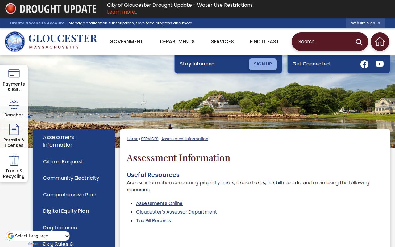
The assessment image reinforces the distinction between delivery geography and a parcel record. A displayed owner or taxpayer label is not a conclusion about who currently lives at the address.
A recorded deed can identify parties to an instrument, not an occupant. An assessment record can display an owner or taxpayer and a tax mailing address, which may differ from the property address. For historic material, the Sawyer Free Library genealogy resources offer digitized city directories from 1860 through 1993 with gaps, alongside maps, newspapers, and local assistance. Pair the postal check with the source that actually fits the date and record type.
Note: If a portal does not show the needed historical record, state the gap and use the custodian or repository instead of assuming it does not exist.
Gloucester ZIP Code Labels in History
Gloucester records regularly use village and place labels that are more precise than a city name but are not postal boundaries. Annisquam, Rocky Neck, Lanesville, Magnolia, Eastern Point, Briar Neck, Dogtown, Riverdale, Wingaersheek, Pearce Island, and Cape Ann can appear in a directory, map, newspaper, or community record. A historic source may name one of those places while a current delivery address uses Gloucester and 01930.
Keep the local label in its own field. Then use USPS for present delivery, MapGeo for the parcel, and the document’s own date for historical interpretation. This approach avoids silently changing a village reference into a postal claim. It also makes a no-match easier to diagnose, especially where a deed gives only a lot description or a directory has no ZIP at all.
ZIP Codes Beyond Gloucester Limits
ZIP boundaries and Gloucester city limits are not interchangeable. The research found no official static USPS source that publishes every local boundary, ZIP+4 range, historical split, or realignment. It also found no Gloucester municipal portal that establishes a complete ZIP layer as the definitive postal map. Use the city’s GIS for municipal geography and USPS for delivery geography, without merging the two into a new boundary claim.
- ZIP
- A postal delivery code. It can cover a route that does not match a neighborhood, ward, or city line.
- ZIP+4
- An added four digits that narrow delivery routing for a specific address or unit; verify it through USPS.
- P.O. Box ZIP
- A code used for box mail. Gloucester documents use 01931 for a City P.O. Box convention, not for a residential area.
- Carrier route
- A mail-delivery grouping. It is not a parcel boundary and does not identify who is at an address.
For a disputed historic number or postal label, request the Gloucester City Clerk or Engineering record and compare the address against directories, maps, deeds, and USPS verification. A clear note about a missing conversion table is more reliable than guessing from a modern ZIP.