
Walk a Gloucester Street Directory Trail
Address research in Gloucester works best when each source answers its own narrow question. The assessment card supports tax administration and property characteristics. MapGeo supplies parcel placement and nearby-lot context. A Registry instrument records a transaction. A directory, street list, or archive item can add a dated connection to the address. None of those sources alone proves present occupancy. Start with the street number in hand, record the map and parcel reference shown by the public tools, and preserve the date range that matters to the search.
- Run the number and street through Gloucester Vision, then note the displayed site address, parcel or account reference, assessment date, and owner or taxpayer label.
- Open Gloucester MapGeo to place that parcel on the street and compare its shape with the adjacent lots.
- Search the Southern Essex Street Search with Gloucester selected, a street name without its suffix, the primary street number, and a narrow date span.
- Open each recorded instrument and carry its book, page, legal description, grantor, grantee, document type, and recording date into a working note.
- For a dated household clue, use directory scans, archives, and a local voter-list request where the record and access rule support the question.
The statewide voter-status tool checks one individual using name, full date of birth, five-digit residential ZIP, and an agreement checkbox. It is not a by-street list. A local Gloucester list is a separate request through the City Clerk or Board of Registrars, and its public fields and redactions are governed by Massachusetts rules. Keep a list date, ward or precinct, and source office with any historical notation instead of treating it as a timeless street roster.
Gloucester Vision Street Directory Fields
The Gloucester Vision assessment portal is the practical first stop when an address needs a parcel reference. The portal commonly shows a parcel or site address, owner or taxpayer field, property class, land and improvement values, sales information, building description, and valuation history. Field availability can vary by parcel and software version. The City says assessment values are updated annually after Department of Revenue approval, so the assessment date belongs in every research note.
| Vision field or mode | How to use it | Record with the result |
|---|---|---|
| Address or street | Enter a street name and number, allowing for source spelling differences. | Displayed site address and assessment date. |
| Owner or name | Search the displayed taxpayer or owner name with careful spelling. | Label exactly as displayed, not an occupancy conclusion. |
| Map or parcel | Use a map click or parcel identifier when the street address is unclear. | Map, lot, parcel, or account reference. |
| Result card | Open the individual parcel record. | Property class, value history, and sales fields that appear. |
In the official Vision search, the address and parcel paths are useful when a street has similar names or a complex contains more than one building label.
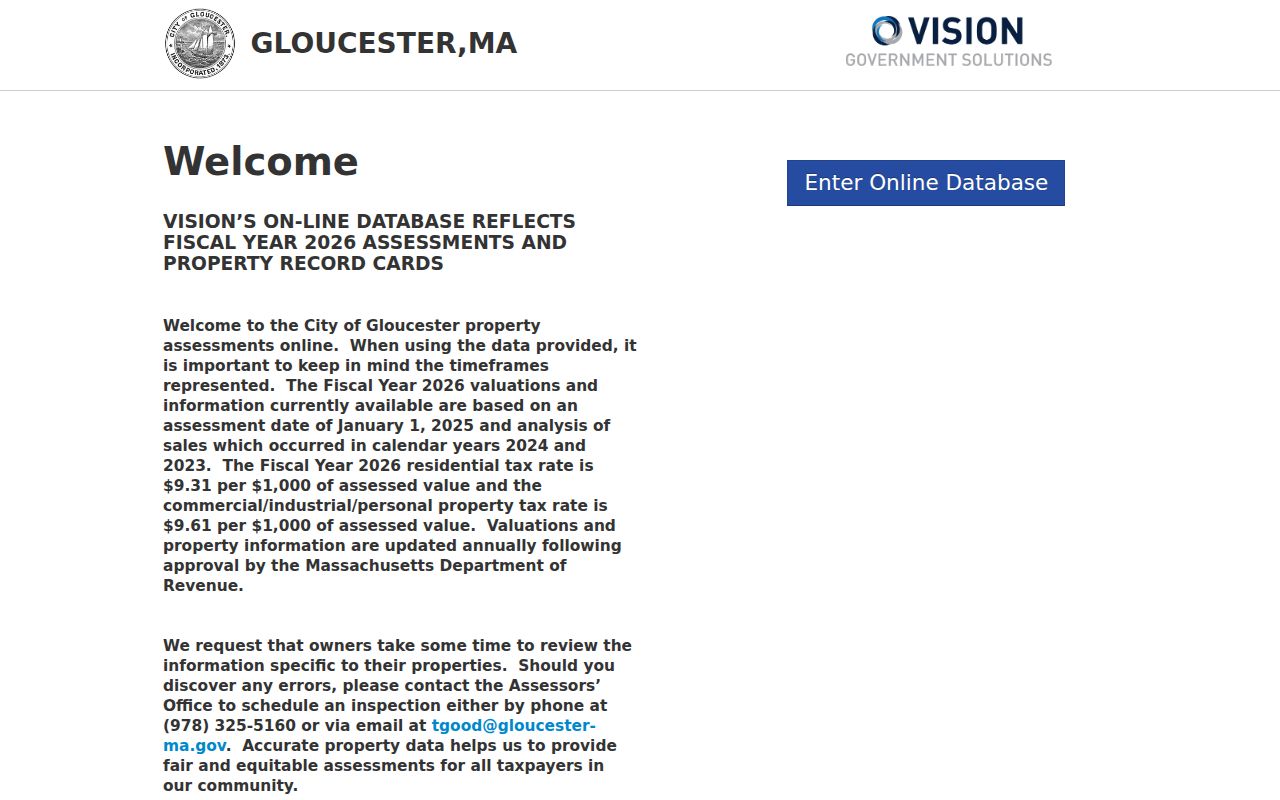
The assessment-search image shows the starting point. Open a parcel card before copying a label, then compare it with MapGeo and the recorded instrument rather than treating the search screen as the full record.
Gloucester MapGeo Parcel Context
MapGeo is Gloucester’s address-research tool for spatial context. The live viewer opens with a map center, themes panel, and zoom control. It can be used to pan, zoom, click a parcel, compare adjacent parcels, and preserve a map location. Static research did not establish every live search label, layer, export button, or query rule. Record only the layers and parcel details the viewer actually exposes during a search.
- Parcel
- A mapped unit used for assessment and land-reference work. It helps connect a street address to an official map reference.
- Situs address
- The property’s physical street-address label. It can differ from a tax-bill mailing address.
- Plat or plan
- A recorded map or plan that depicts lots or boundaries. It is not the same thing as a general web-map view.
- Criss-cross directory
- A reverse address arrangement. No dedicated official Gloucester volume was located, so historic address work needs a manual trace through the available scans.
MapGeo’s coordinate and layer environment gives a useful check on place, not a substitute for a legal boundary description. A plan, deed image, or municipal record can use an older number, a lot reference, or a building name that is not obvious from today’s map label.
Gloucester Street Names and Numbers
Gloucester’s street-naming and numbering ordinance directs the City Clerk to maintain an alphabetical book of street names and ways, including the date a way was laid out or accepted and later alterations. A request for a street name or number goes to the City Clerk or Engineering Department with a locus map. The City Engineer maintains the master numbering system, and the ordinance gives the reviewing agencies 14 days to respond. That makes the Clerk or Engineering record the right next step when a historic number will not reconcile with a current parcel.
The Gloucester Crossing address-assignment file shows why a street search sometimes needs more than one form. The city used multiple Gloucester Crossing numbers for different functions while the Fuller building retained a Schoolhouse Road address. Its map-and-lot context matters more than assuming a named development has one simple address. Keep the old address, new address, building name, map or lot, assigned date, and issuing office together in the notes.
Village labels add another layer. Annisquam, Lanesville, Magnolia, Rocky Neck, East Gloucester, and other local names can appear in directories, newspapers, maps, or civic records even when the standardized delivery address is Gloucester. Preserve the local wording beside the standardized address. It may be the search term that locates a historic source.
Note: A street-number record can explain an address change, but it does not establish who was at that address at a particular time.
Search Gloucester Streets at Salem Deeds
Gloucester lies in the Southern Essex District. The Salem Deeds portal provides recorded-land and plan routes. Its recorded images run from Book 1, Page 1 in 1640 to the present. The stated electronic image index starts January 2, 1951, at Book 3793, Page 408, and older electronic indexes are incomplete or unavailable before 1979. An online result is an index to an instrument, not a statement that a named party lives at the address now.
| Registry mode | Field | Gloucester street-directory practice |
|---|---|---|
| Street Search | Town | Select Gloucester before entering the street. |
| Street Search | Street Name | Use the name only, omitting Street, Avenue, Drive, Lane, and similar suffixes. |
| Street Search | Street # | Enter the primary number, such as 11 rather than a range or lettered variant. |
| Name Search | Start and End Date | Set a narrow period, then retain it with the search result. |
| Name Search | Grantor, Grantee, or Both | Use the party role to move from one recorded transfer to the next. |
| Older Index | Type and date bucket | Choose the period-specific grantor or grantee route when the electronic index is thin. |
The official Salem Deeds search has distinct name, street, extended, book-and-page, plan, and older-index routes.
The deed-search image highlights the separate tabs. A no-result on one tab is not a reason to skip the older index, plan search, or a book-and-page citation already found in a related record.
Gloucester Address Records by Street
An address trail becomes more useful when the record sets are kept separate. Vision ties the address to an assessment card. MapGeo ties it to a parcel location. The Registry records deeds, mortgages, plans, liens, and other instruments. Street-number files explain how the city assigned an address. Historical material can supply a dated household clue. The practical question is always what the particular source actually records, and for what date.
| Address-keyed source | Custodian | Time span or status | What it can show |
|---|---|---|---|
| Assessment card | Gloucester Assessors | Current portal record and valuation history where displayed | Parcel, site address, owner or taxpayer label, class, and values. |
| Parcel map | Gloucester MapGeo | Current interactive viewer | Parcel placement, adjacent lots, map context, and live layers. |
| Recorded land and plans | Southern Essex Registry of Deeds | Images from 1640 to current; electronic index begins in 1951 with older gaps | Parties, dates, instrument references, legal descriptions, and plans. |
| Street-name and numbering book | City Clerk and Engineering | Request-based municipal record | Accepted or altered way names and numbering administration. |
| Assessors’ Returns of Listed Men and Women | Gloucester Archives | 1895-1938 | Historical entries arranged by ward and street, including street number and reported residence. |
| Permit or inspection file | Inspectional Services | Online form access varies; request is the fallback | Building event, site, dates, status, and material available from the custodian. |
The City’s online permitting information directs applicants to OpenGov, but the static research did not establish a public search for every past permit or attachment. For an older file, make a focused request to Inspectional Services with the address, record type, and date range. A permit applicant, contractor, owner, and site address are distinct roles.
Older Gloucester Deeds Need Context
For an old Gloucester address, move backward from a deed image, not from a bare name hit. Record the first page, parties, instrument type, recording information, legal description, and prior reference. Then follow that prior reference to an earlier instrument and compare the description with the Vision card and MapGeo parcel. Street labels can be absent, shortened, or changed in older deeds, while the legal description can still link the sequence.
The older Registry index has period buckets for 1640-1799, 1800-1854, 1855-1950, 1951-1963, and 1964-1978. Search neighboring index pages as well as the first page returned because a name can straddle a page boundary. Plans are a separate route and may be the clearer evidence of lot shape or street relationship. The Southern Essex Record Alert System is free for later filings under a chosen name or block and lot, but it is an alert service, not a title conclusion.
Note: A recorded party, a tax recipient, and a present household are separate facts that should never be collapsed into one claim.
Four Gloucester Address Forms Matter
One Gloucester location can be written in four useful ways: the current delivery address, the MapGeo parcel label, the Registry’s suffix-free Street Search form, and the older directory or newspaper wording. Keeping all four forms in a research note is a fast way to catch a failed search caused by a suffix, number range, legacy road, village label, or building name. It also prevents a modern normalized form from overwriting the way a historic record actually described the place.
Postal geography needs the same care. The USPS ZIP Code Lookup verifies a specific delivery address or returns ZIP associations for a city and state. It does not prove that a person or organization is at an address. Gloucester documents use 01930 for ordinary street delivery and 01931 for a P.O. Box convention, but a ZIP is a delivery construct, not a village or parcel boundary. Check the exact address through USPS rather than treating a neighborhood label as a postal result.
Gloucester Archives for Old Addresses
Gloucester Archives holds municipal material beginning before 1642, including property records and maps, directories, annual reports, engineers’ maps, town records, vital books, and the Peterson vertical newspaper file. Its Collections Index identifies an Engineers’ Vault map and plan guide that is available at the Archives but was not located online. That is a targeted in-person lead when a parcel or street question cannot be settled by the public portals.
Current posted Archives hours are Monday, Tuesday, Wednesday, and Friday from 9 a.m. to noon, with Thursday closed. Call 978-325-5136 or email garchives@gloucester-ma.gov before traveling. Give staff the address, all known address forms, map or lot if available, a date range, and the exact type of record sought. For printed historical directory holdings, the Gloucester City Directories collection supplies the distinct scan and volume trail.
Collection condition is part of the answer. Gloucester’s Historical Commission reported paper-file organization work after a 2023 fire and said digitization funding was not yet available. A collection may be digitized, on microfilm, in-library, available by appointment, under arrangement, or not located. Record that condition rather than turning a missing scan into a claim that the source does not exist.
Limits of a Gloucester Street Directory
A street directory can connect an address to records, but it cannot supply a complete list of everyone associated with that address. Assessment cards can show an owner or taxpayer label. A tax-bill mailing address can belong to a bank or mortgage company. A deed records parties to an instrument. Historic directories are snapshots with omissions and gaps. Voter information has its own public-field limits, and confidential-voter and Address Confidentiality Program protections must not be worked around through other sources.
Lawful use. Use Gloucester address records for personal, family-history, property, or civic research. Do not use them to stalk, harass, intimidate, or expose a protected address; Massachusetts law provides consequences for stalking and criminal harassment.
When an address result conflicts, identify the record type, jurisdiction, date, and limitation. The City’s NextRequest portal is the recommended public-record request route, and Gloucester also accepts written, email, and oral requests under its published process. A focused request is more useful than a broad request for every name ever linked to a street.