
Gloucester Neighbors Block Sources
Public sources answer different block questions. Gloucester MapGeo is the visual source for parcel adjacency. Vision supplies an assessment record for a selected parcel. Southern Essex Registry records land instruments and plans. A local voter list has its own access rules and date limits. Civic organizations can provide public history, programs, or contact details, but the research did not locate a citywide membership directory. Start with the record role, then read the limitation before carrying a name forward.
| Source | What It Shows About a Block | Access |
|---|---|---|
| Gloucester MapGeo | Parcel position, adjacent-lot context, street orientation, and live map layers. | Public interactive viewer; controls and layers should be checked live. |
| Gloucester Vision | Selected parcel’s assessment, property characteristics, and displayed owner or taxpayer fields. | Public portal; record fields can vary by parcel. |
| Southern Essex Registry | Recorded land instruments, plans, party names, and deed citations connected to a property. | Online index and images, with older electronic-index limitations. |
| City Clerk or Board of Registrars | A permitted, dated local election list organized by ward, precinct, street, and house number where the law provides. | Request the relevant scope and format; it is not an unrestricted statewide file. |
| Sawyer Free Library and Archives | Historic directories, maps, newspapers, and local records for an earlier block context. | Digitized, microfilm, in-library, or appointment access varies by collection. |
A nearby parcel, a deed party, and a tax-bill recipient are distinct roles. Gloucester’s abutters material explains that a tax-bill mailing address may go to a mortgage company or bank. Do not use a parcel, mailing address, voter-list date, or old directory entry to infer who currently occupies a home or has a relationship to a nearby lot.
Gloucester Neighbors on MapGeo
Gloucester MapGeo is the right starting point for visual parcel adjacency. The public viewer opens with a map center, a themes panel, and a zoom level. It supports panning, zooming, and clicking a parcel or other displayed feature. Research notes identify parcel location, shoreline and street orientation, adjacent-lot context, and available themes as useful functions. Exact search labels, layer names, export choices, and query syntax were not fully exposed in the static capture, so confirm the live controls.
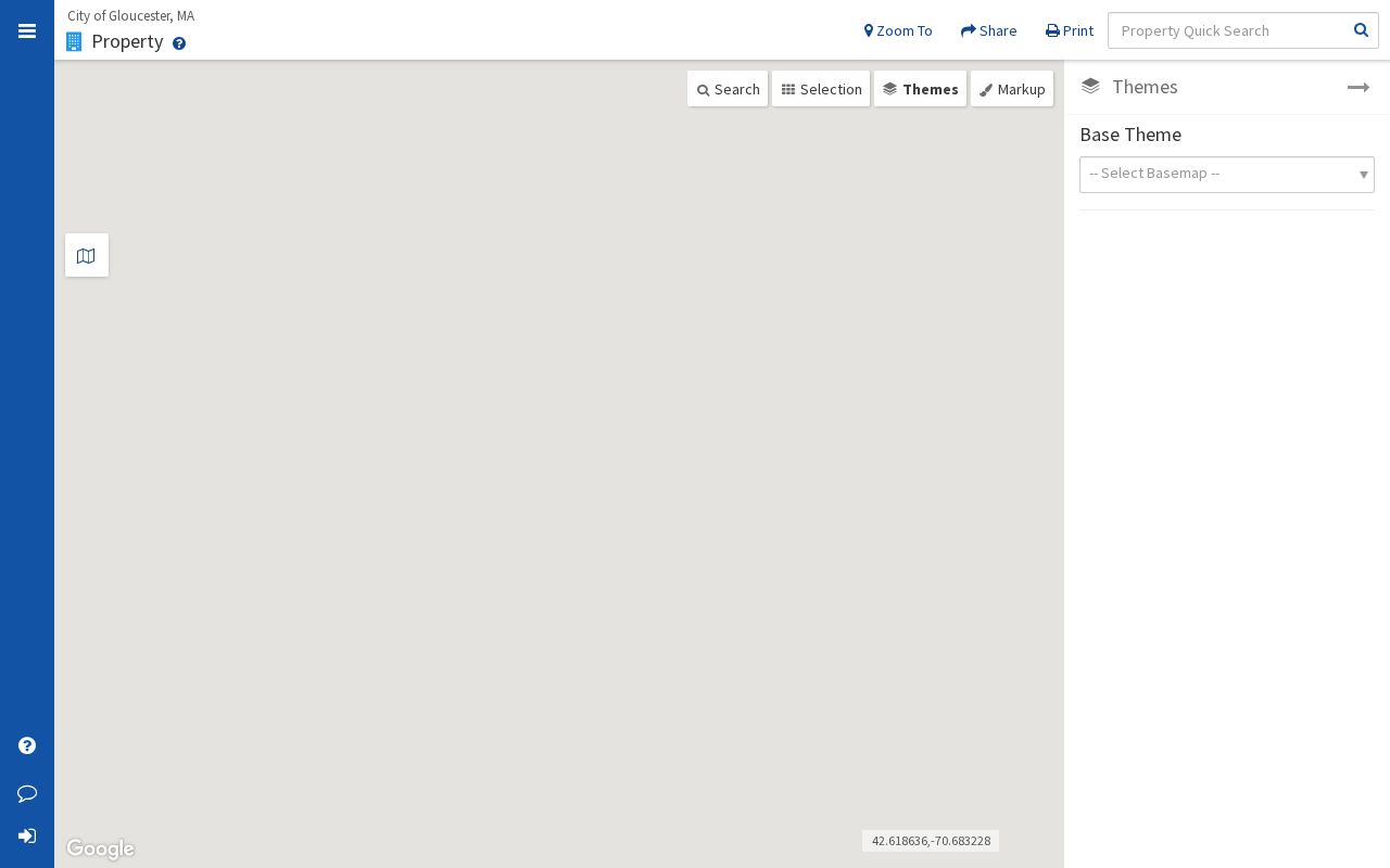
The MapGeo view is a map relationship, not a household list. Click a selected parcel to record its displayed address and identifier, then retain the map date, active layer, and source URL. A different layer can change the context visible around the same location.
Note: Record the map scale, active layer, and access date because the viewer’s controls and available layers can change.
Mapping a Gloucester Block
Use a parcel-first process for the immediate block. The goal is to describe documented land relationships around one address, not to assemble a profile of people. MapGeo can place the starting parcel among nearby lots. Vision can add assessment context. The Registry can connect a recorded instrument to a book and page. At every stage, distinguish a parcel address from a tax mailing address and a property role from residence.
- Search the address in MapGeo and record the parcel location, visible address, map scale, and relevant displayed layer.
- Click the adjoining parcels one at a time, saving the parcel identifiers or displayed addresses rather than guessing from map labels.
- Open the matching Vision records to compare the property address, assessment date, and owner or taxpayer label as shown.
- When a recorded land question remains, use the Southern Essex Street Search with Gloucester, the street name without its suffix, a primary number, and a narrow date range.
- For a full named-street sequence instead of the immediate block, use the Gloucester street directory and its address-record workflow.
MapGeo, Vision, and the Registry should agree on a parcel only after their different formats and dates have been reconciled. A historic instrument may use a legal description, an old street name, or no street number at all. That is a cue to compare the deed image, map/lot, and historical map, not to fill the gap with a current-person inference.
Gloucester Neighbors and Parcel Roles
Property records are valuable because they identify a parcel’s legal and tax context. Vision commonly displays parcel or address information, an owner or taxpayer field, property classification, values, sales information, building description, and valuation history. Southern Essex Registry records grantors, grantees, instrument dates, book and page references, and images. Those fields can help trace the property record, but they do not prove a person lives there now.
The City of Gloucester’s municipal lien certificate information explains a separate title-related record. The certificate reports taxes, assessments, and other charges due under M.G.L. c. 60, § 23. A request route, category, or fee is not a neighbor record and should never be used to infer household membership or present occupancy.
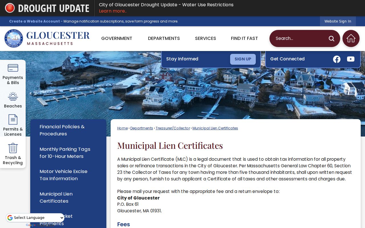
The municipal-lien-certificate page belongs in this workflow only when the question concerns the parcel’s official charges or title history. For a nearby lot’s physical relationship, return to MapGeo or a recorded plan.
Note: A deed party, owner field, or tax mailing address describes a record role and never confirms current occupancy.
Gloucester Neighbors Civic Resources
Community institutions can add place context without becoming person lists. The research identifies the Annisquam Village Hall Association, the Leonard Club, and organizations referenced by the Gloucester Meetinghouse, including the Gloucester Downtown Neighborhood Association, League of Women Voters of Cape Ann, and Jonathan Bayliss Society. These are public-facing civic and local-history leads. They do not establish that any individual lives nearby, belongs to a group, or has agreed to contact.
Annisquam Village Hall Association
Association information describes the Old Leonard School, old firehouse historical society, village hall, and Village Library on Leonard Street.
Leonard Club
Leonard Club information describes a Gloucester civic and social-welfare organization and its public meeting schedule.
Gloucester Meetinghouse References
Meetinghouse community references identify several organizations in public-facing community material.
The Annisquam Village Hall Association’s civic-resource page illustrates the kind of local institutional source that can clarify a village’s history and public places.
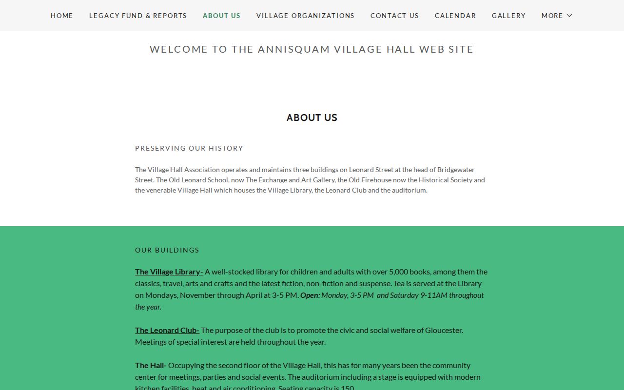
This image supports a location-based research lead, not a roster. Use an institution’s own current contact information for public programs or collections, and respect its limits on private membership information.
Gloucester Neighbors and Voter Records
Massachusetts separates individual status lookup, local-list access, state political or government access, and historical election material. The statewide Voter Registration Search asks for first name, last name, complete date of birth, five-digit residential ZIP, and an agreement checkbox for one status check. It is not a block search. For a permitted local list, request the ward, precinct, election or list date, format, and record scope from Gloucester City Clerk Elections or the Board of Registrars.
State guidance distinguishes public local-list fields from nonpublic phone, email, veteran-status, permanent-absentee, confidential-voter, and minor or pre-registrant information. A confirmation mailing or inactive status is a dated election-administration event, not a statement of someone’s everyday whereabouts. Historical research has a separate avenue: Gloucester Archives and Sawyer Free Library hold older election material, street lists, and the 1895-1938 assessors’ returns arranged by ward and street.
Official Records and Commercial Categories
Official sources and commercial neighbor tools serve different purposes. The first group identifies a record custodian, record date, jurisdiction, and defined fields. The second group may combine public and nonpublic material under methods that are not transparent. For a Gloucester block question, start with the official source that fits the question, then preserve its limitation instead of treating a compiled result as a verified household record.
| Source category | Useful result | Important limit |
|---|---|---|
| Official parcel, assessment, deed, or election record | Dated property, instrument, or election information from a named custodian. | May show a role, mailing address, or historic fact rather than current residence. |
| Commercial neighbor-search category | A possible lead to independently verify. | Methods, update timing, and source relationships may be unclear; do not treat it as an official record. |
Historic Gloucester Block Context
A current parcel map is not a time machine. For a historic Gloucester block, Sawyer Free Library links city directories from 1860 through 1993 with gaps, along with newspapers, yearbooks, maps, and genealogy help. Its house-history guidance points to town records, Southern Essex deeds, Digital Commonwealth, Sanborn maps, Salem Deeds atlases, state real-estate atlases, and Cape Ann vertical files. Gloucester Archives adds municipal records, property maps, directories, and finding guides.
Gloucester’s 1949 Sanborn volume has 70 sheets, and local research materials identify runs from 1888 to 1960. A Sanborn sheet may show a building footprint, material, apparent use, lot shape, and adjacent structures, but not a current household. For address changes, the City Clerk’s street-name book and Engineering record are the appropriate request route. The Gloucester Crossing assignment file shows why building names, road names, map/lot references, and multiple assigned numbers must be compared.
Note: A map or directory entry anchors a date and place; it does not establish a person’s present connection to the block.
Privacy Limits for Gloucester Neighbors
Public availability is record specific, not person specific. Massachusetts confidential-voter rules and the Address Confidentiality Program protect qualifying people and their addresses. Restricted vital records, sealed or impounded court material, private phone and email, full birth dates, Social Security numbers, account details, and identity-document images do not belong in a block search. If a source appears to reveal a protected address, do not use other records to reconstruct it.
Lawful use. Block research can support civic curiosity, local history, or a property question. Never use public information to watch, harass, intimidate, or harm anyone, and do not turn record fragments into claims about a person’s current location.
When a record is inaccurate, preserve the source and date, then use the City’s public-records process or the record custodian’s correction route. A narrow, verifiable description is safer and more useful than a compiled block profile.